Most Important Features
Benefits

Up to 5x Maintenance costs reduction
Earlier detection of roads distresses, will save municipalities and local governments up to 10x of maintenance costs

3x Increase of quality of maintenance decisions
Resulted maintenance priorities of roads segments has higher return on maintenance investment by up to 3x

Mobile based Operation & Management System
Mobile based Operation & Management system that tracks citezens complaints, projects, maintenance, and budget
Our Services
What you will get
Roads PCI Evaluation
(Pavement Conditioning Index)
GIS based maps of roads conditions by collecting and analyzing roads defects using the AASHTO PCI code
Roads Maintenance Priority Lists
A full GIS based lists of roads segments to be maintained prioritized by several customized criteria
Roads Management System
(Mobile Based Application)
tracking citizens complaints, maintenance projects and operations, and roads re-evaluation
Roads XY Defects
GIS based map of all roads defects in your city with all related data (defects types, severity, and dimensions)
Roads Conditions Prediction
futuristic insights about roads conditions, how and where defects will occure in the future
Financial Management
how much does it cost if you perform maintenance operations, and how much it does if you don't
Awesome Journey
Solution Journey
Lorem ipsum dolor sit amet consectetur adipisicing elit. Repudiandae nostrum natus excepturi fuga ullam accusantium vel ut eveniet aut consequatur laboriosam ipsam.
- Phase 1
Images & Data Collection
Step 1: Preparing the map of city roads: Preparing GIS based map of city roads segments, attributes preparation, and roads numbering
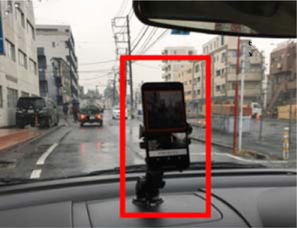
Step 2: Roads' imaging & data collection: the local government should drive all along of its roads (and use our mobile application) to take images of its roads
The mobile app will take images every 2 seconds
- Phase 2
Images Analysis & roads Evaluation
Step 3: Images Analysis: All images will be analysed, and defects will be gathered
Step 4: A GIS based map will be created showing all defects as points on the map with precise locations
Step 5: PCI evaluation will be calculated for every road segment, and a GIS map will be generated
Popular Photos
Solution Gallery
Most popular photos of mobiles apps and generated maps
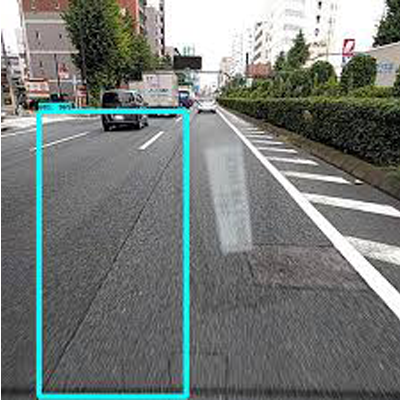
Roads Imaging
Using a mobile app that takes road photos every 2 seconds
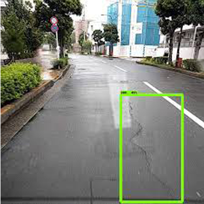
Data Collections
Roads images will be saved locally for defects analysis
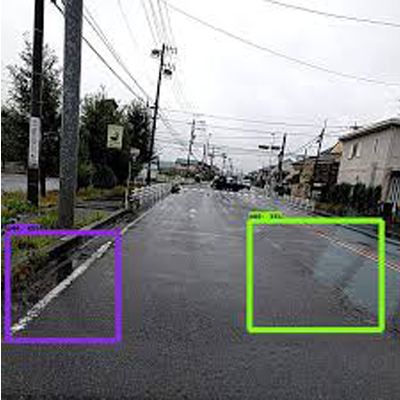
Distresses Detection
Roads distresses detection, analysis, and PCI calculation
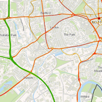
Roads Segments Maps
Colored maps (from red to green) according to PCI calculation for each segment
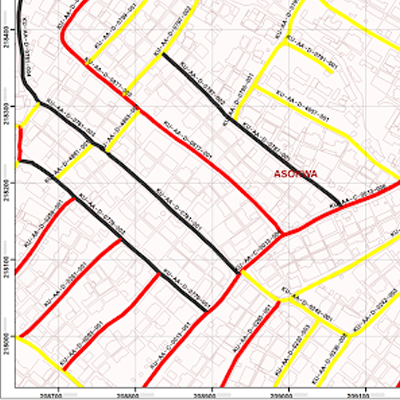
Roads Segments Maps
Municipalities can choose not to scan all roads (Un-Colored roads segments)
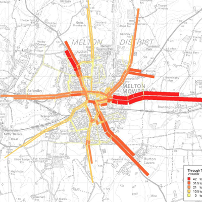
Roads Segments Maps
Municipalities can finally see the its roads conditions using ASHTOO PCI code

Tech Company
About Us
A Palestinian startup based in Gaza. We are a group of infrastructure and civil engineers that works in the field of roads maintenance for a decade, and we want to transfer our knowledge to the world


