Awesome features
System Benefits
Road-Infinity empowers governments and municipalities so they can see their roads in very detailed maps like never before including identification of individual distresses like potholes and cracking (through roads step images inspections). This will enable governments to make objective, data-driven decisions about their roads, and setting roads maintenance priorities.

5x
Maintenance costs reduction
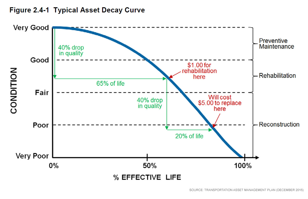
In the right time with the right data, It will costs municipalities $1.00 of roads maintenance instead of $5.00 with the absence of data
Improvement in road management system results in reduction of time and cost, the pavement condition survey plays a big role in the pavement management.

3x
Increase of quality of maintenance decisions
Pavements are major means of highway infrastructure. Maintenance and rehabilitation of these pavements for the required serviceability is a routine problem faced by highway engineers and organizations.
The proposed system can have a significant impact on practitioners, who will have a common language for pavement evaluation and maintenance, and roadway users, whose comfort and safety will be enhanced due to improved pavement condition.
The initial phase in setting up a pavement management system (PMS) is road network identification.

Data Storage
& Images archiving of yearly basis
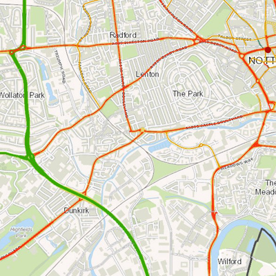
Step 1: Preparing the map of city roads: Preparing GIS based map of city roads segments, attributes preparation, and roads numbering
Step 2: Roads' imaging & data collection: the local government should drive all along of its roads (and use our mobile application) to take images of its roads
The mobile app will take images every 2 seconds

Tech Company
About Us
A Palestinian startup based in Gaza. We are a group of infrastructure and civil engineers that works in the field of roads maintenance for a decade, and we want to transfer our knowledge to the world